Tractors v’s The Inishowen

Day 19

The first Saturday event for the Lennon Festival was the tractor run. We stupidly thought that meant the tractors might parade around the village streets, but no, it was a static display. Billed to start at 10am, we were there bright and early. However, it took until 11am for the tractors and their drivers to organise themselves. There was even a mini tractor! Lots of men standing around looking at, well…tractors!

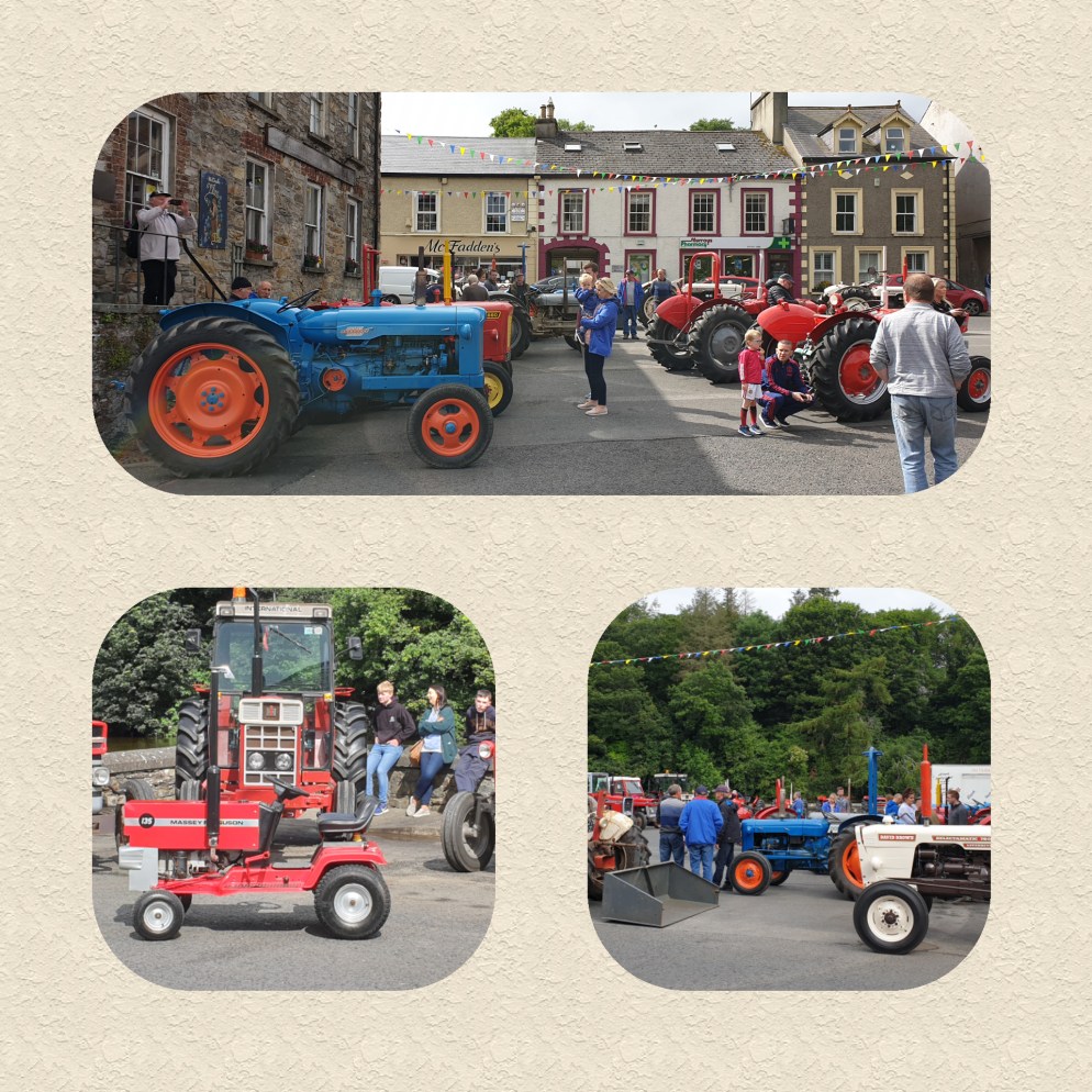
Our thirst for tractors and taking the Mickey, would come back later in the day to haunt us!

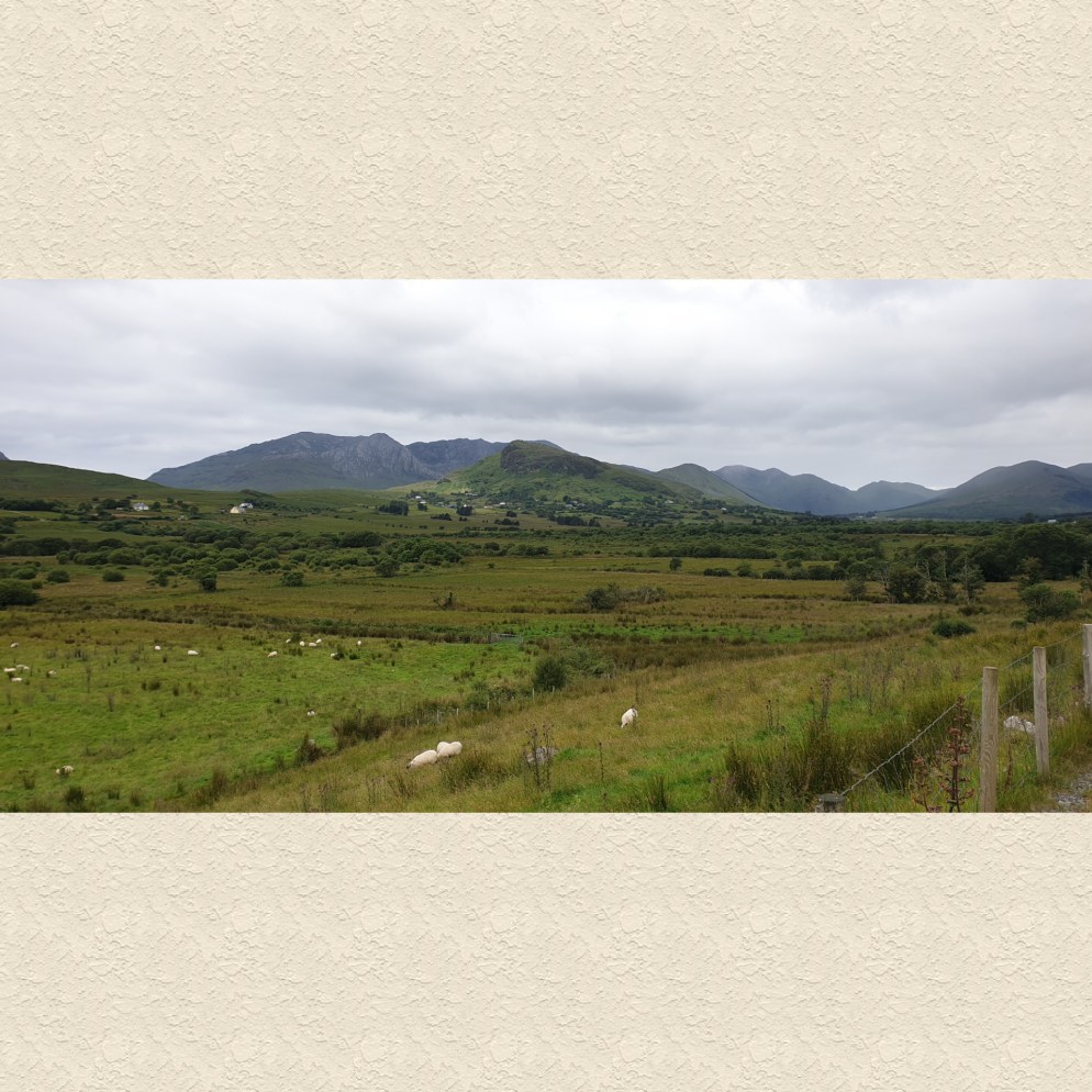
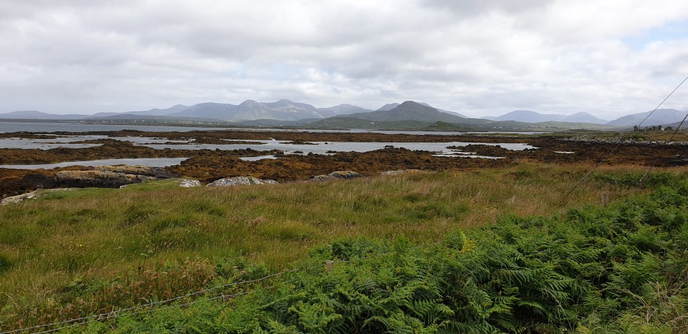
We spent all day exploring the beautiful Inishowen Peninsula, from tip to toe. The drive north along the eastern coast hugs the sea, with the glittering Lough Foyle at your side.

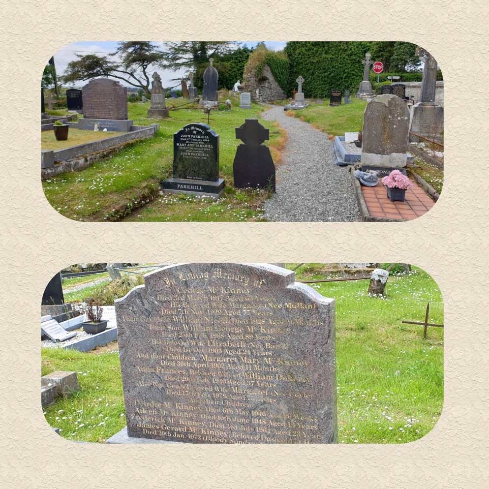
All was humming along nicely until we hit a traffic jam at Muff. The cause? A tractor run, and this time it was moving! We managed to overtake them and continued on our way. We took a break at Iskaheen to visit an old graveyard, specifically the gravestone of the McKinney family. It was a testament to Ireland’s poverty and subsequent high death rate of children, and of the Troubles. It cites the names of young people, children and infants on the headstone and includes 34 year old James who was killed on Bloody Sunday.

As we joined the main road, the tractor run joined us!

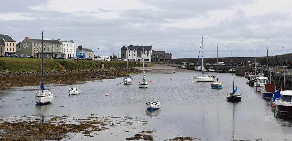
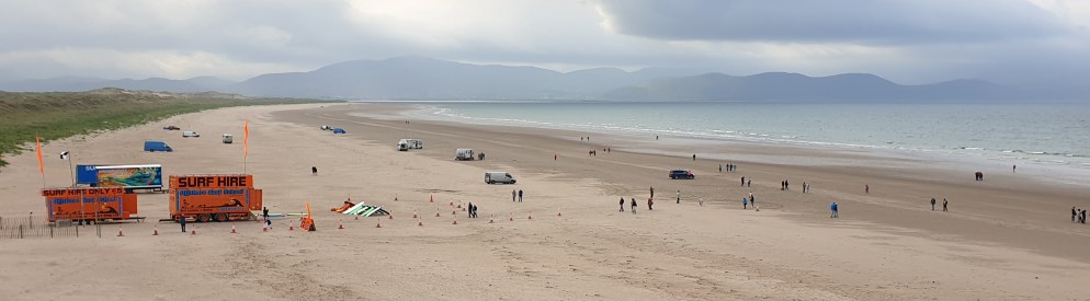
Further north we stopped at Greencastle for seafood, crab and plaice, then stumbled on a beach that actually had a surf lifesaver!

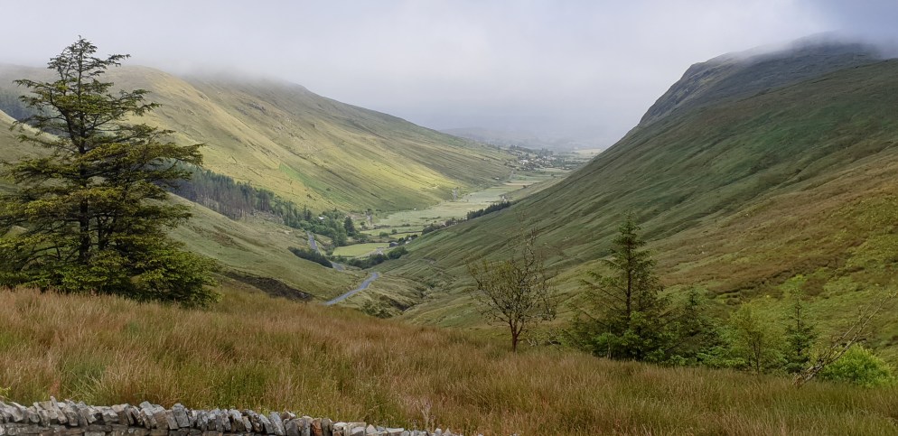
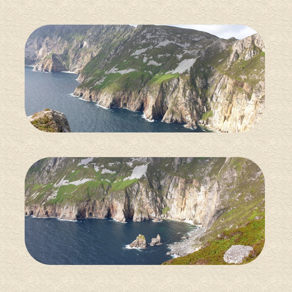
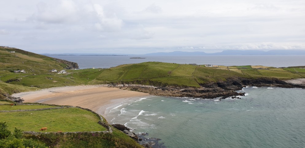
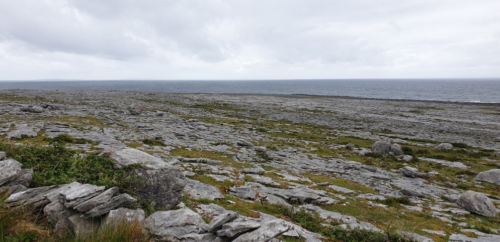
The slow drive north west along the coast was like a goat track, with grass down the middle and very few places to pass. It went up and down the hills like a rollercoaster, past gorgeous coves and beaches.

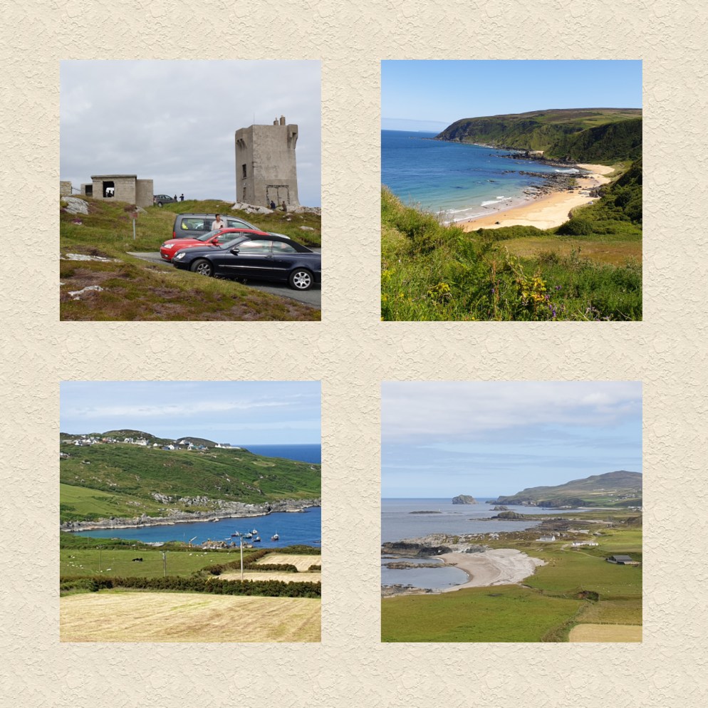
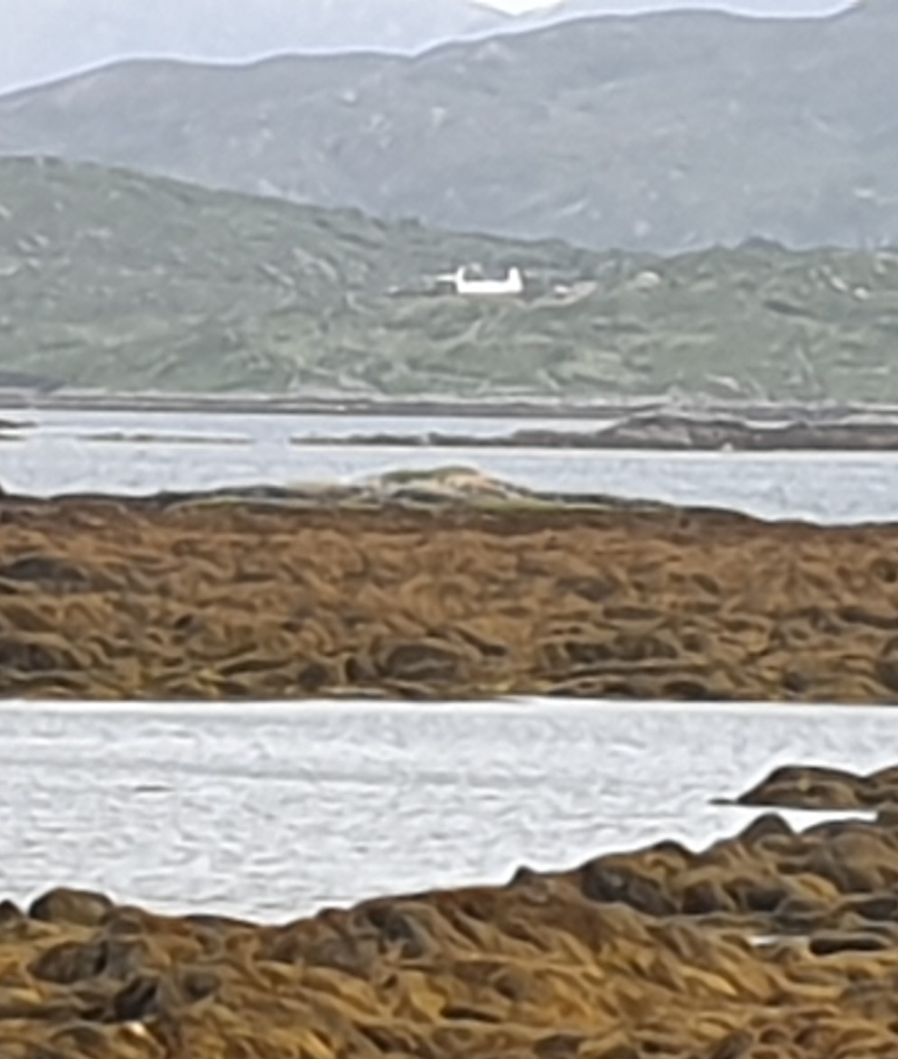
Malin Head, the most northerly tip of Ireland, was a hotchpotch of old WW11 bunkers and a stone tower, originally built in 1805 but since cemented over and looking mighty ugly. On a clear day you can see Scotland, and we did!

Heading south, you guessed it, we caught up with the tractors again in Carndonagh. It was then it dawned on us that they were doing a loop of the peninsula, and we learned it was all for a good cause, to raise money for the local hospital.

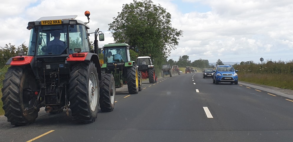
After a quick stop at Fort Dunree, we made our way back to the main road, where we could see the line of tractors once more crossing the T-intersection at Buncrana. A quick look at Google maps helped us detour around the town and we managed to get in front of them. John is sure he was being punished for his scant regard of the place tractors and their drivers are thought of in this country!

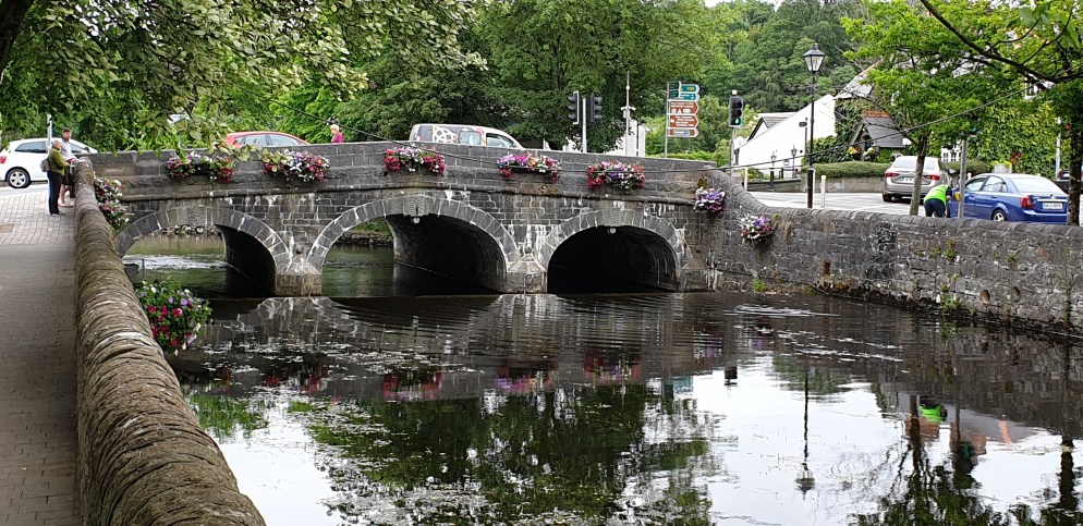
Returning to Rathmelton, the Lennon Festival was in full swing. There was sideshow alley,

country dancing,

great street food,

and high tech.

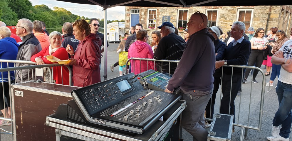
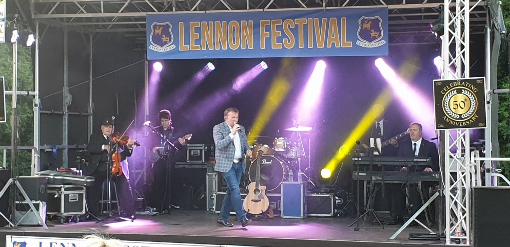
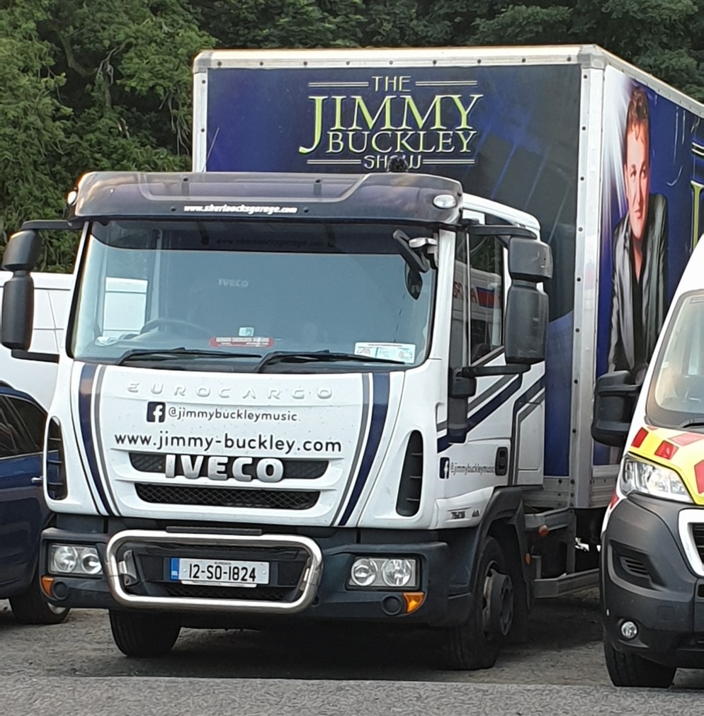
All the crowd wanted though, was to see the lead act, Jimmy Buckley.

He was so famous he even had his own truck!

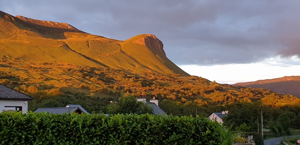
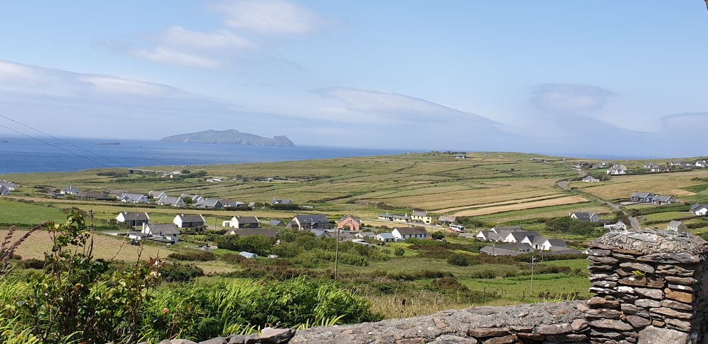
No matter the tack, we had to admit, the view on our walk home, was pretty darned good!

Northern Donegal Delights

Day 18

Woke up to drizzle this morning, so we canned our idea of taking a boat trip round to the Slieve League cliffs. Such a shame!

Headed north again through the Glengesh Pass with low clouds shrouding villages and surrounding mountains.

A short detour just before Ardara brought us to Assarancagh Waterfall.

By now it had fined up and we took another detour off the main road along the seashore to Dunmore Head, passing this rather random little sculpture.

Further north, the landscape on ‘The Rosses’ twists and turns beside scattered communities, and a boggy, then sandy shoreline.

Satisfying our daily need for a lighthouse, we drove as far north as Fanor Head, wild and desolate, before heading south.

Our home tonight is at Rathmelton, a pretty Georgian town on the River Lennon. As luck would have it, our visit has coincided with the Lennon Festival, so the town was ‘buzzing’. As well as the festival, we discovered that an inhabitant of the town, Dave Gallagher, captained the All Blacks after he emigrated to NZ as a child. He was killed in WW1, but there is a great memorial to him in the village.

The Bridge Hotel was offering live music so we settled in for dinner. Pity the music didn’t start until 11.15pm! That’s considered normal around here! We stumbled home, absolutely stuffed!

DoneGAL

Day 17

That’s right. It’s not DONegal, but DoneGAL! To think all this time I’ve been mispronouncing it!

We reluctantly left Sligo and headed north. We didn’t have far to go today, so returned to Mullaghmore for more exploration. The village is perfectly set adjacent to a little walled harbour, which in turn is next to a very decent sized stretch of sandy beach.

Set on a headland, the dominating structure is Classiebawn Castle, favoured holiday spot of Lord Louis Mountbatten, who was killed there when the IRA rigged his boat with explosives in 1979.

We spent literally 2 minutes in County Leitrim (3kms) before crossing into DoneGAL. Donegal Town has a castle of course, and a pretty town marketplace.

Enticed by a headland, we drove the impossibly narrow road 11kms out to St John’s Point, a thin sliver of land that drops gently into the sea at the end. Half way along the road was a craft cottage with a lady inside still weaving the old way. Wish I could have afforded to buy something there! Pretty darned expensive but worth every weft!

We reached our destination for the night, Carrick, in time to see Slieve League. Slieve League has the highest sea cliffs in Europe, truly magnificent. Yet they get much less publicity than the Cliffs of Moher and thank goodness I say! The site simply couldn’t sustain big numbers of tourists. Much more spectacular than their southern cousin, and free to visit! We were mesmerised.

After dinner at The Rusty Mackeral, we headed back to our Airbnb and enjoyed a couple of wines plus some, with our hosts Carol and Seamus.

In Sligo With The Rels

Day 16

What a fantastic day! I took so many pics today I’m not sure how I’m going to choose which ones to publish so this post may be picture overload. Ollie was our tour guide for the day, and we started at the Hazelwood Estate, where he works.

Hazelwood House, designed by Richard Cassells (who also designed the famous Powerscourt Estate in County Wicklow), is over 300 years old. Internally, it is totally derelict, having not been used or maintained for many years. But externally, you can see clearly how impressive the building used to be.

Behind the house are huge warehouses that have been used for various industries over the years, including at one time being owned by a Korean Company who made video tapes!

The house is a grand mansion, and I’m talking Pride and Prejudice type mansion here. Standing in front of the house, I half expected Mr Darcy to come walking up through the fields! Ollie is Manager of the latest project occupying the warehouses…a whiskey distillery! The eventual plan is to restore the house and have guest accommodation there, but that is years and many millions of dollars down the track.We donned helmets and high viz vests and set off. This is the front of the house

and this is the back.

Photos don’t do it justice! It is simply stunning. The main house has curved wings coming out from either side that are attached to square guest accommodation suites. The ugly cement addition to the left of the house was built on when the site was a rehabilitation hospital in the 1960’s, and will be pulled down.

And the inside is a labyrinth of rooms leading onto passageways leading onto more rooms and staircases. A real ‘Upstairs Downstairs’ situation. It was jaw dropping wandering around.

Here is a pic of the wooden kitchen sink, and meathooks in the ceiling of one of the cellars, below which was a niche in the floor to let the blood from the carcasses drain away.

We strolled down to the river. Two horses obligingly walked into the photo.

One of the main investors keeps his €30,000 motor boat moored there. Check out what he was reading!

The distillery is about a month off officially opening, and for now the company is bottling whiskey from other suppliers that they have casked themselves.

Tasting was obligatory.

But as it was my turn to drive today, I got to hold the box!

Ollie certainly has a big job ahead of him, but what an amazing place to come to work each day!

We then visited The Model, (originally a Model School), where Ollie used to work. It’s now an art gallery. Nearly a whole wall was devoted to the works of JB Yeats, WB Yeats’ brother, both of whom hail from the Sligo area. What a creative gene pool!

We picked up the kids from their Vacation Drama School at the theatre where Izzy is producing, directing and acting in a play. It’s about African asylum seekers, and there was a playbill advertising it out the front.

While Izzy rehearsed, we went to the pub! The Sand Bar is literally that…in the sand!

A pretty special place.

To top the day off, we met up with Izzy’s parents, whom we’d met in Sydney a long time ago. They have a holiday house at Mullaghmore, about a 20 minute drive north of Sligo, and we dined on delicious seafood at their favourite restaurant, Eithnas. A perfect ending to a great day.

Much Ado About Nothing

Day 15

Once again it was hard to leave our host Bridie. Such a gentle and kind lady who obviously loved company but who was also lonely. Devoted to her only son Colm. We had a long way to travel today, over 200kms! Nevertheless, we were nervous! Roads in Ireland are certainly “different”, and what seems like a short distance to cover can actually take a long time! Our destination for the night was Sligo. We were pretty excited about visiting Sligo as my nephew Ollie, Di and Jon’s youngest boy, lives there with his partner Izzie and kids Pearl (10) and Sonny (8). We haven’t seen them for over 6 years. Our aim was to drive north and explore the north western part of Galway before turning east to follow the coast to Sligo. Leaving Kilkieran, we drove north to Leenaun, the Twelve Ben’s ever present on our left.

We stretched our legs at Westport, a pretty Georgian town with lots of flower baskets and a very pleasant riverside walk.

Along the northern most coast of Galway lies the archaeological marvel, Ceide Fields. First discovered in the 1930’s by Paddy Caulfield when he was digging in the bog, and then 40 years later investigated further by his son Seamus, Ceide Fields is the world’s most extensive Stone Age monument. Some say it looks nothing more than a series of small walls. I reckon it’s nothing more than several piles of rocks. The ultimate Irish joke???

It was in a beautiful setting,

but I failed to see how a pike of rocks could be interpreted as having been a thriving community within stone-walled fields with megalithic tombs aplenty. I’m definitely a heathen!

It was great to reach Sligo and catch up with the family. The biggest news from them is that baby No3 is on the way and due mid December. Pearl and Sonny are uber excited to say the least! We had a BBQ with Ollie, Izzy and the kids and planned to meet in the morning for a day of exploring Sligo. This was the sun setting on Benbulben, just behind their house, on our way home at about 10pm.

Bogs, Marconi and The Twelve Bens

Day 14

Settled about 5pm yesterday into our home for the next two nights with our host Bridie. She has a lovely home, with yet another amazing view, in an area of west Galway called the Connemara.They all speak Irish around here, not Gaelic! This is our bedroom and breakfast view.

Bridie loves animals and besides her cat Ronnie (who climbed in our window last night and scared the living daylights out of us), she feeds various stray cats and the 4 donkeys next door, all called ‘Bessie’.

The scenery is more rugged and wild here, and it feels quite isolated. The boggy fields are dotted with white stones and the occasional startlingly white cottage, the land criss-crossed with low stone walls either built vertically up steep bare mountains or gently rolling down to one of the hundreds of little lakes or inlets.

Wherever you drive, the backdrop is dominated by the Maumturk Mountains, or the Twelve Bens as they are called.

There are so many little lakes it is hard to determine if they are actually lakes rather than the sea. The kelp was a good indication it was salty water, a thriving industry in these parts.

Just south of Clifden is a newly developed walking path that takes you 5km across blanket bog land to the site of Marconi’s transmitting station. Ireland seems to have claimed Marconi as one of their own, with signage and literature all saying he was an ‘Irish Italian’.

In its day, it was highly secretive and therefore highly guarded. A more bleak and remote place is hard to imagine. But it is fascinating. There is not much of any of the buildings remaining these days, besides their foundations, but they had these clever telescopic gadgets that when you looked through them, showed you the scene as it would have looked like when the transmitting station operated as a small community. The whole site was pretty big. There were piles of peat bog everywhere!

It was a good walk, and we must have spent about two hours looking at everything. Just us and the sheep!

Heading north to Clifden, we followed the ‘Sky Road’ out to the coast, a beautiful drive that hugs the hillside past hidden bays and inlets until you hit the ocean.

About an hours drive east brought us to Cong, actually just over the county line into Mayo. Cong’s claim to fame is it’s setting for the iconic (apparently) movie ‘The Quiet Man’ starring John Wayne and Maureen O’Hara.

So in Cong we have ‘The Quiet Man’ museum, ‘The Quiet Man’ pub, ‘The Quiet Man’ cafe, ‘The Quiet Man’ tearooms……..get the idea?

Of course there is a ruined Abbey, with this little building thought to be where the monks fished.

Placed above the water, they could fish through a hole in the floor of this structure whilst still keeping warm by the open fire!

We walked through the woods by the river, past lots of blokes standing in the middle of the stream fishing, and we stumbled upon what we thought was a castle….turns out it was, since turned into a swanky hotel and golf course costing €840 per night to stay!

Our ‘local’ tonight had live music, a trio of young ladies who sat in the dining room playing guitar, squeeze box and fiddle, looking like they were just waiting for their meal to be served.

Galway

Day 13

Woke up to drizzly rain. Wanted to curl up and snuggle into the blankets and watch the weather from our very comfy Airbnb. But couldn’t of course. By the time we were ready to leave, it had started to clear, so we continued north up through the Burren. This little fellow caught our eye.

We have since discovered that people get a grant of money for keeping donkeys, hence the reason they are everywhere. This funny little building was just beside the road. Turns out to be a water well.

Galway City was waking up from a Saturday night hangover. Lots of travellers with suitcases obviously visiting for the weekend, looking bleary-eyed and in desperate need of sleep! It was also ‘Pride’ celebrations here yesterday, swelling the cities numbers even more.

Galway City was once ‘ruled’ by 14 powerful families until Oliver Cromwell came into the picture and spoiled their fun. The 14 families are considered heroes and to this day Galwegians refer to themselves as The Tribesmen. In their main town park/square, the flags bearing the insignias of the 14 Tribes fly proudly.

We wandered down the main street, deserted at this time of day as the shops don’t open until 1pm.

The main street it totally pedestrian and winds it’s way down to the river. Looking back to the city you’d think you were in a country town. No high rise here!

There is some great street art…see if you can identify all these musicians.

And busking is alive and well. The dancer doesn’t look Irish at all!

But it was this old guy who stole our hearts in the Neachtains Pub.

He asked us where we were from and then promptly started playing ‘And the Band Played Waltzing Matilda’. It was hauntingly beautiful and by the time he finished, we both had tears trickling down our faces.

The Burren

Day 12

It was hard to say goodbye to Margaret. Although slightly eccentric, she was a lovely warm lady who was an enthusiastic cook, boasting over 200 cookbooks she thinks, but has lost count. She reads them like novels. Anyway, her hospitality was 100%. This is a picture of her kitchen. Simply wonderful.

So, after experiencing all 5 peninsulas, which one was our favourite? Beara and Dingle tied for first place. Punching above their weight for sure.

Today our destination was an area of County Clare called The Burren. To get there we took a short cut by ferry across the mighty Shannon River from Tarbert to Kilrush. Our white Nissan now renamed Niamh (Thanks Jane), in the foreground.

Then, as we are prone to do, we trekked out to Loop Head, as far as you can go. Through pretty villages with unique flower pot arrangements

and then onto the cliffs surrounding the lighthouse. They are magnificent, some say they are better than the Cliffs of Moher (correct).

Believe it or not, between this pillar of rock and where I am standing taking the photo, there is a 50m chasm down to the sea. I was too scared to get any closer! They call the sea stack lovers leap after legendary Diarmuid and Grainne who fled there pursued by her bethrothed Fionn MacCool, whom she didn’t love. Not cool enough apparently! They supposedly took refuge on the stack.

Stopped at picturesque Kilbaha for lunch. The view in every direction from our table was speccie.

Travelling on to the Cliffs of Moher, we encountered tourism en masse at Ireland’s No1 natural tourist attraction. The scene at the Carpark was better than the Cliffs! People everywhere, exacerbated by the Irish Open starting at Lehinch, a village just down the road.

The Burren derives its name from the Irish word boireann meaning “stony place”. The landscape is quite stark with huge rocky mountains reaching right down to the sea.

Our home for the night was a small village north of Doolin called Fanore. Our Airbnb was only recently listed and was up there with Bantry, tastefully decorated and completely self sufficient. Right on the waters edge looking over to the Aran Islands. Simply beautiful. We walked to the local for dinner

And then headed home for a wine al fresco.

The ABC Logo Ring

Day 11

Mr Thumb aka Dingle, was explored using the old ‘ABC logo rule’. In other words, trying to choose a route without repeating any roads already travelled. We did pretty well. Starting at Castlemaine we took a goat trail up over the Dingle peninsula to Camp, then back over the other side to Anascaul, along to Dingle Town, through a valley to Dunquin and back across to the north again via the Connor Pass to Castlegregory, then once more south over the mountains to Inch! Dingle town was very busy. Summer has begun in Ireland. It was a beautiful day, and the place was heaving. For some unknown reason, we decided to take on the Slea Head loop road anticlockwise (well it worked on the ROK). Apparently the views are better when you go clockwise, which we soon found out would have been much cleverer. Not because the views weren’t amazing the way we were going, but because of the extremely narrow roads and the hundreds of buses coming in the opposite direction! What a nightmare! Nevertheless, our road trip took us to a gorgeous clifftop walk towards Sybil Head and the Three Sisters,

starting at the most idyllic looking beach at Clogher.

With lots of help, John perfected the art of crossing a stile.

We had to go to Dunquin, because Jenny cycled there back in 1982 and said it was beautiful. And it was.

Across Conner Pass, Ireland’s highest mountain pass, you can see to the north and south. South to Dingle was pretty hazy but north towards Mt Brandon was much better.

On the advice of our trusty guidebook, we ventured onto dirt roads to Glanteenassig Forest, a very picturesque lake with this weird walkway around it. Made up of 2 wooden planks, it was only wide enough for one person to walk on.

Our last crossing of the peninsula took us to Inch, the location site for the movie Ryan’s Daughter. It’s now the location of a surf school with lots of interested onlookers.

We dined tonight on tapas at an old church in Killgorglin that had been converted into a restaurant. Interesting monument saved from the old church with reference to Sydney. But the best part? No chips!

The Big ROK

Day 10

We didn’t think much could beat Beara. We loved it. So starting out to explore the Big daddy of all peninsulas, the Ring of Kerry, was done so with some degree of apprehension. The tour guide books emphasise the fact you must travel anticlockwise, as do the tour buses, and to flout this unwritten rule, well, do so at your own peril! They weren’t far wrong. We set off before 9 o’clock to beat them but 10 minutes down the road there were 6 buses already lined up outside The Bog Museum. Luckily that was not on our list of “must sees”. We actually turned off the main ring and headed inland to traverse the Ring down the middle. Amazing contrast of scenery within 30 minutes of each other, from beautiful streams

to wide barren plains.

On reaching the coast, we started at Cahersiveen, the site of several round stone forts and a ruined castle (of course)!

Continuing anticlockwise, we reached a beautiful beach area around Caherdaniel, so braved the water. A hot day, but the water was absolutely freezing! Head under twice, then out!

Margaret, our host, had planned our route meticulously, and was keen for us to visit the chocolate factory…so keen, she mentioned it 5 times!

Loved the chocolate and the sign.

Within the ROK is an inner Ring called the Skellig Ring, affording beautiful views of the coast and the Skellig Islands.

You can then drive onto Valentia Island connected by bridge at one end and a ferry at the other.

Amazing clouds! Led us to The Point Restaurant for dinner, which didn’t disappoint. Margaret was spot on.